HAENA — Jen Henderson thinks it’s time for a remedy to the traffic problems at the end of the road on Kauai’s North Shore. “It’s gotten to the point where the infrastructure can’t keep up with the impact,” Henderson said.
HAENA — Jen Henderson thinks it’s time for a remedy to the traffic problems at the end of the road on Kauai’s North Shore.
“It’s gotten to the point where the infrastructure can’t keep up with the impact,” Henderson said. “If they’re going to promote it up here, they need to make sure that the place can handle the amount of people that they bring in.”
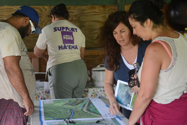
Henderson was among residents who were cycling through a tent that housed the Haena State Park Master Plan Meeting Saturday afternoon.
Kimi Yeun of PBR Hawaii, the company that’s designing the master plan and environmental impact statement, said Saturday’s open house was a constant “flow of people” in groups of about 10 to 15 at a time, coming in and out of the event.
“We’re answering questions and I think it’s going very well,” Yeun said.
Henderson and her family have been living near Haena State Park for more than 30 years. While the area holds significance for her family, it’s also special in the Hawaiian culture, she said.
“This place is very spiritual and there are significant sites in the area,” she said.
Henderson thinks it would be nice to see educational and informational stations at the planned welcome hale.
“We have monk seals up here and there’s the reefs,” Henderson said. “A lot of people that come up here aren’t educated about those things and I think people love to learn. It’d be great to get some information up here to tell people about how they are impacting the reefs.”
Another resident who stopped by said she was glad to see the state bringing the community on board for decision-making on the potential new park, but was worried about some of the details. Leilani Josselin’s main concern was the interpretive path, which is set to be a pedestrian-only path located mauka near Ke’e to direct people toward lifeguarded beaches. It winds through taro fields and trees straight to the beach.
Providing safety from falling rocks was one of the reasons for creating the path.
“I think that if you can’t make it 300 feet without missing some falling rocks, you’ve got no business hiking out to Hanakapiai,” Josselin said.
Fern Rosentiel, who is currently running for a seat in the Hawaii House of Representatives for District 14, said she dropped by the meeting to see the updates, since she has been following the plan’s evolution.
“It’s good to see that they’ve taken into consideration some of the comments from the community from a year ago,” Rosentiel said.
Rosentiel thinks the main concern for the community is access.
The new plan outlines a single entry, controlled access park with hours from 7:30 a.m. to 5:30 p.m. with entry fees of $5 per car, or $1 per person. According to the master plan revisions summary from DLNR, the goal is to reduce use to 900 persons per day during controlled access hours.
“It looks like they’re working on some sort of plan for access to the locals,” Rosenstiel said.
According to the new plan, parking with a little more than 100 spaces would be in two designated areas — one for fee-paying park users (non-residents) and one for fee-exempt park users.
Fee-paying park users would be allowed to enter the park only if they have a pre-paid entry receipt, and that would apply to any type of entry — bikes, shuttle, arriving on foot or via vehicle.
The plan is also to close the existing road, Route 560, from the park entry point — which is near the present parking lot — to the parking area at Ke’e, and replace it with a pedestrian path. Limited use of the existing road would be allowed for authorized personnel, such as lifeguards, emergency responders and parks staff.
The park entry area will include a turnaround, shuttle bus stop, a 20-by-30 welcome hale, and restrooms.


