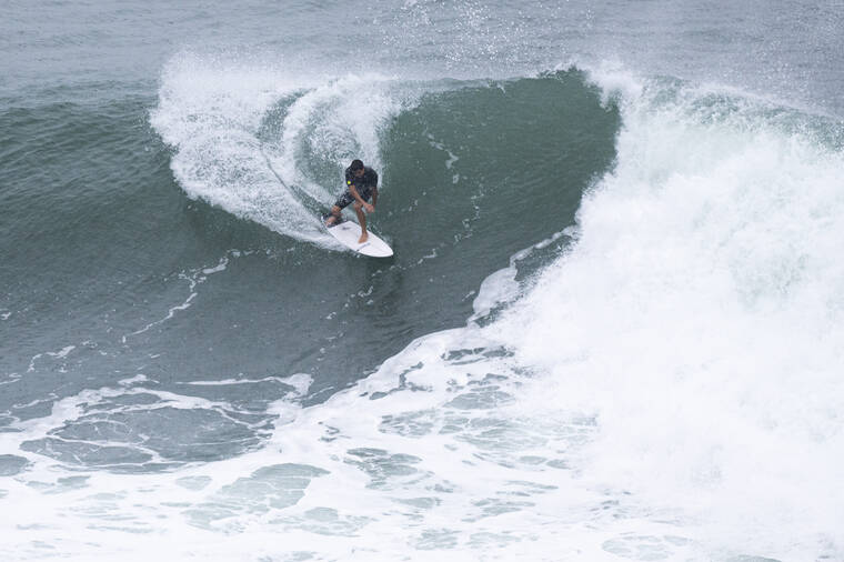
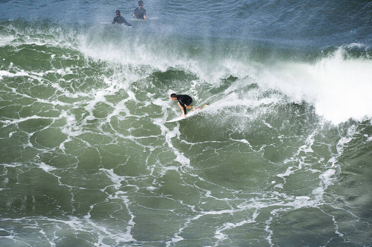
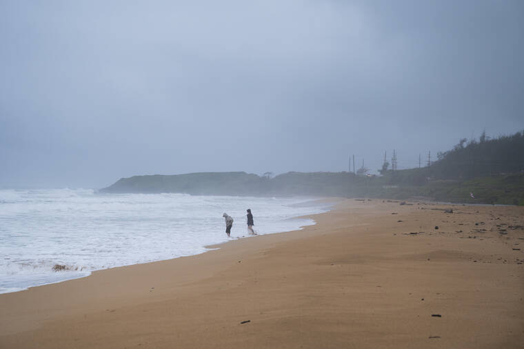
LIHU‘E — The heavy rain that lashed most of Kaua‘i throughout Monday was the precursor to moist and unstable conditions expected to last through Tuesday.
“More typical trade wind weather will return from late Wednesday onward,” the National Weather Service forecast at 10 a.m. on Dec. 6.
A west-moving Kona low, or subtropical cyclone, west northwest of Kaua‘i is causing the inclement weather.
On Monday, NWS projected the band of deep moisture associated with the Kona low would soon be limited to Kaua‘i and O‘ahu, having already begun to move beyond Maui and Hawai‘i Island to the east.
Kaua‘i County government officials urged residents to be vigilant on Sunday and again on Monday, noting the downpour’s potential for catastrophic flooding is a chief concern.
“We are monitoring stream levels and roadways around the island,” County Managing Director Michael Dahilig said during Monday’s county briefing. “Ponding, low visibility and other hazardous driving conditions are expected, so please stay off the roads if you don’t need to drive. However, if you must drive, please do so with extreme caution.”
A statewide Flash Flood Watch is in effect through 6 p.m. today, as noted at press time.
Late Monday afternoon, provisional NWS rain gage reports indicated the upper Wailua area received the most rain in the preceding 24-hour period. A gage on the north fork of the Wailua River above Kuamo‘o Road recorded the most rainfall, with 3.94 inches.
A gage in Po‘ipu registered the least rainfall, measuring only .34 inches in the preceding 24 hours, on Monday afternoon.
Storms statewide
The worst of the stormy weather appears behind Maui and Hawai‘i Island, even as Kaua‘i prepares for the deluge to continue.
Hawai‘i Mayor Mitch Roth declared a state of emergency Sunday, and Maui has experienced power outages and flooding, according to an Associated Press report.
A blizzard warning on Mauna Kea on Hawai‘i Island — the first since 2018 — was also issued over the weekend, although snow itself is not rare on the state’s highest peak.
Meteorologist Robert Ballard, the National Weather Service’s science and operations officer in Hawai‘i, told The Associated Press the Kona low is a low-pressure system with some unique meteorological characteristics.
“What we tend to see are a tremendous amount of tropical moisture gets drawn up from equatorial regions,” Ballard said. “Kono lows tend to move slowly and so they can keep heavy rain and thundershowers focused over one area for a prolonged amount of time, and they can also cause pretty strong to damaging winds.”
Gov. David Ige signed an emergency declaration for the entire state on Monday.
•••
Scott Yunker, reporter, can be reached at 245-0437 or syunker@thegardenisland.com.


