WAIMEA — How will climate change and sea-level rise affect the 417 acres of the Waimea 400 site?
Well, that’s what the county is trying to figure out through an adaptation planning method, said Waimea 400 Project Manager Lea Kai‘aokamalie of the county Planning Department.
Kai‘aokamalie said that working on this site plan has made climate change “really real.” It’s eye-opening, she said, to drill in and run projections to see how the area will change over time.
Late last month, the county and consultant PBR Hawai‘i presented a draft conceptual master plan for the Waimea 400 site, which is located mauka of Kaumuali‘i Highway between Waimea and Kekaha.
Unlike the three conceptual designs that were presented earlier this summer, this draft conceptual plan identifies five zones based on anticipated changes to the land, like sea-level rise, based on flood plains.
Toward the makai side of the parcel, this draft plan acknowledges that those in the first two zones experience flooding, so uses like elevated paths, wetlands or planing kalo and rice would make better use of those areas.
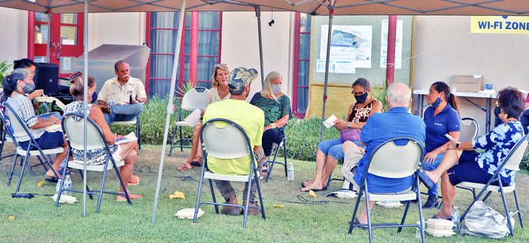
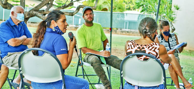
Last Wednesday, several residents convened for an hour-long talk story at Waimea Public Library, which was funded in part by a national grant from the American Library Association.
At the meeting, Jared Morsey suggested that tapping into the local agriculture scene would be beneficial for the overall sustainability of the island. Morsey, looking at the plan, said he liked the idea of an agriculture incubator, which is featured toward the middle of the project area.
The farther up the plan, the more the uses become permanent structures or areas that need to be more protected from flooding, like housing.
About 40 acres of the Waimea 400 site is suitable for housing, in the northeastern quadrant by an existing subdivision. The housing, the county has stated, will serve those at or below 120% of the area median income. That would be to $85,550 per year or less for a single-person household or $122,200 per year or less for a four-person household, according to the U.S. Department of Housing and Urban Development.
Mike Faye of the Kekaha Agriculture Association said that this is the county’s opportunity to invest in housing. Faye said that since so much of the area is developed or at risk of flooding, honing in on those 40 acres is crucial to workforce-housing development on the Westside.
The county purchased the property from the Kikiaʻola Land Company in 2019, and hopes to present a final draft master plan in the fall.
“This is not a container to put uses on,” Kai‘aokamalie said. “It’s a living, breathing space.”
Input on the plan is being received until Friday, Aug. 13 at waimea400.com, or in person at the Waimea Public Library.
•••
Sabrina Bodon, editor, can be reached at 245-0441 or sbodon@thegardenisland.com.


Yep! “You build it, and they will come”.
More “imported” workers to work the low paying jobs at the hotels… so that wealthy shareholders of the corporations that own the hotels can get wealthier.