MIAMI — Hurricane Humberto rushed past Bermuda, lashing the British Atlantic territory with powerful winds for hours before beginning to move away early Thursday, as new Hurricane Lorena swirled in the Pacific posing a threat to resorts on Mexico’s southwestern coast.
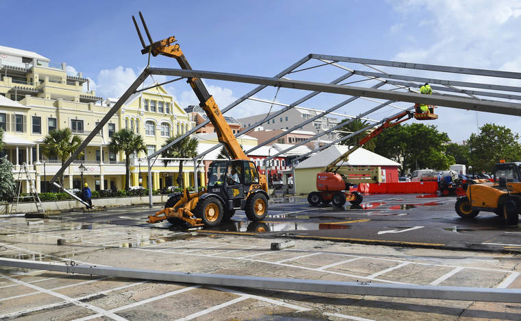
The fast-moving Category 3 Humberto began bashing Bermuda with hurricane-strength winds Wednesday afternoon and passed to within about 75 miles (130 kilometers) of the island during the night before heading out into the Atlantic. Forecasters said tropical storm-force winds would continue into Thursday.
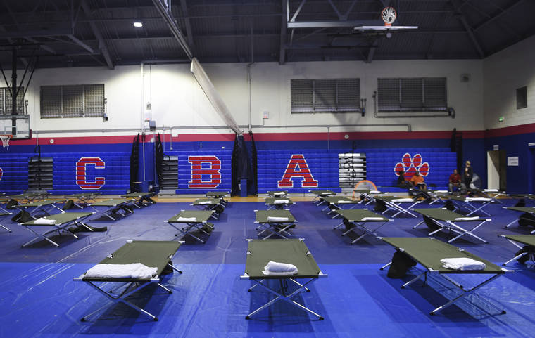
Bermuda Gov. John Rankin had 120 soldiers of the Royal Bermuda Regiment on alert for possible recovery efforts, and officials had warned the 70,000 residents to stay sheltered until the winds subsided. Schools, clinics and government offices closed down as the storm approached.
The U.S. National Hurricane Center said maximum sustained winds were still at 120 mph (195 kph) late Wednesday. The storm was centered about 130 miles (205 kilometers) north-northeast of Bermuda and moving to the east-northeast at a brisk 23 mph (37 kph).
National Security Minister Wayne Caines said non-emergency medical services would be closed until Thursday.
“We can get through this,” Caines said before the storm hit. “We’ve been through this before.”
In the Pacific off Mexico, newly formed Hurricane Lorena was predicted to “near or over the southwestern coast” somewhere between the port of Manzanillo and Puerto Vallarta from Wednesday night into Thursday night.
The still-uncertain long-term forecast track showed the storm possibly approaching the Los Cabos resort area at the southern end of the Baja California Peninsula Friday night and Saturday.
Lorena had maximum sustained winds of 75 mph (120 kph) Wednesday night. It was centered about 35 miles (55 kilometers) southwest of Manzanillo and moving to the northwest at 12 mph (19 kph).
Hurricane warnings were in effect from Punta San Telmo to Cabo Corrientes.
Heavy rains were spreading onshore along the coast, the Hurricane Center said. Mexican officials voiced concern that some parts of southern Mexico, which have seen a lack of rainfall, could now get torrential rains that could result in dangerous flash floods and landslides.
In parts of Colima, Jalisco and Michoacan states, “it is forecast that the total accumulations of rain could … represent 40% of the rain for an entire year in that part of the country,” said Blanca Jiménez Cisneros, director-general of Mexico’s National Water Commission.
Classes were suspended in Colima as a precaution.
In Texas, the remnants of Tropical Storm Imelda deluged parts of Southeast Texas, causing some flooding, but officials in the Houston region said that there had been no severe problems by late Wednesday. It was the first named storm to hit that area since Hurricane Harvey’s much heavier rains flooded more than 150,000 homes around the city and caused an estimated $125 billion in damage in Texas.
Tropical Storm Jerry also formed Wednesday far out in the Atlantic and was forecast to become a hurricane before closing in on the outermost Caribbean islands Thursday night or Friday.


