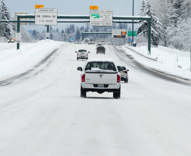
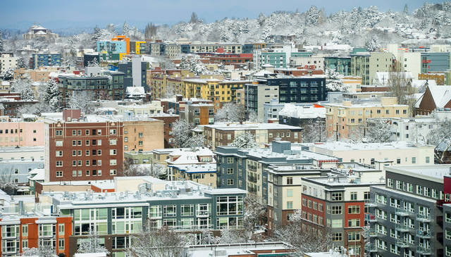
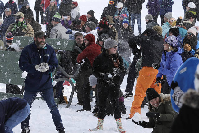
SEATTLE — Pacific Northwest residents who are more accustomed to rain than snow were digging out from a winter storm and bracing for more on Sunday.
The sun was out but the National Weather Service said snow would return late in the afternoon into the evening across the Northwest. Snowfall amounts will range from an inch to 3 inches (2.5 centimeters to 7.6 centimeters) through Sunday night.
Storms have delivered more snow to Seattle in the first days of February than it usually gets in a year, The Seattle Times reported .
Snow was expected to push into the Puget Sound area later Sunday afternoon and continue into the early overnight hours, the weather service said. There will be a brief break before another system arrives.
“Don’t overlook that first system,” meteorologist Jacob DeFlitch told The Seattle Times. “But the second one will arrive right on its heels and looks to be more substantial. Between them, there’s not much time to spare.”
Temperatures were in the teens or single digits. Low temperature records could fall Sunday, meteorologists said.
It was 9 degrees in Arlington, Washington early Sunday. The weather service said that was colder than the Arctic coast or North Slope of Alaska.
An expected 2 feet to 4 feet (0.6 meter to 1.21 meters) from Sunday through Wednesday in the Cascades could be welcome to skiers and snowboarders, Will Ahue, a meteorologist with the National Weather Service in Portland, told The Oregonian.
School district officials throughout Oregon and southwest Washington were closely following the weather forecasts and storm tracking for Monday classes, KOIN-TV reported .
In Northern California, the latest in a series of storms dusted beaches with snow and caused whiteout conditions on mountain roads. The National Weather Service office in Eureka reported accumulating snow at sea level. KIEM-TV posted photos of Clam Beach in Arcata covered in fresh powder.
The last time Humboldt County beaches saw snow was during the winter of 2002-03, forecasters said.


