BETHEL, N.Y. — Archaeologists scouring the grassy hillside famously trampled during the 1969 Woodstock music festival carefully sifted through the dirt from a time of peace, love, protest and good vibes.
Perhaps they would find an old peace symbol? Or a strand of hippie beads? Or Jimi Hendrix’s guitar pick?
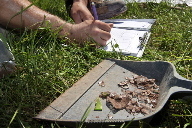
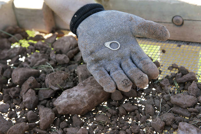
The five-day excavation did reveal some non-mind blowing artifacts: parts of old aluminum can pull tabs, bits of broken bottle glass. But the main mission of Binghamton University’s Public Archaeology Facility was to help map out more exactly where The Who, Creedence Clearwater Revival, Janis Joplin and Joe Cocker wowed the crowds 49 years ago.
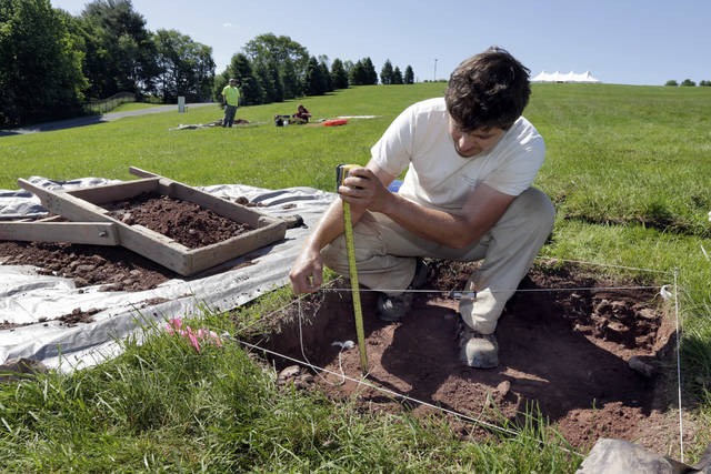
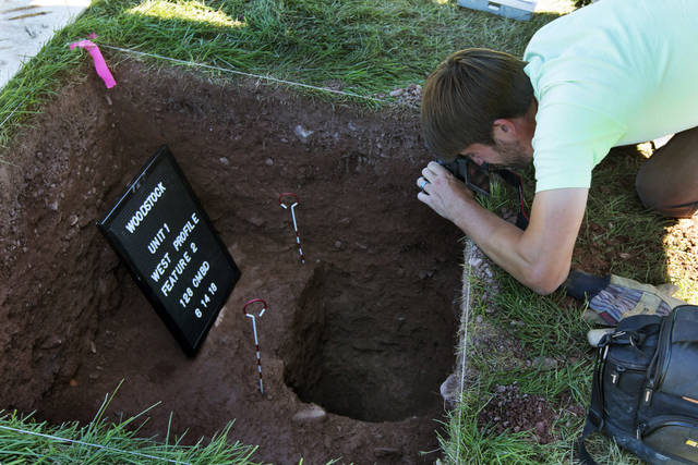
“The overall point of this investigation is to kind of define the stage space,” said project director Josh Anderson, kneeling beside a hole that showed evidence of a fence that kept 400,000 fans from the stage area.
“We can use this as a reference point,” Anderson said. “People can stand on that and look up at the hill and say, ‘Oh, this is where the performers were. Jimi Hendrix stood here and played his guitar at 8:30 in the morning.’”
Aging baby boomers might blanch at the thought of archaeologists combing over the place that literally lent its name to their generation — as if it was a Civil War battle site. But Max Yasgur’s old farm about 80 miles (128 kilometers) north of New York City is already on the National Register of Historic Places. And the hillside has been preserved since the late ’90s by a not-for-profit that runs an adjacent ’60s-themed museum (complete with a psychedelic bus).
“This is a significant historic site in American culture, one of the few peaceful events that gets commemorated from the 1960s,” said Wade Lawrence, director of The Museum at Bethel Woods. He said the archeologists’ work will help the museum plan interpretive walking routes in time for the concert’s 50th anniversary next year.
Lawrence said aerial shots taken during the August weekend can’t be relied upon to show the exact location of the ‘69 stage and light and speaker towers.
On-site data helps, though the bottom of the hillside was re-graded in the late ’90s to accommodate a temporary stage for anniversary performances. The spot of the original stage is under a layer of compacted fill.
But archaeologists think they’ve found the spot where a chain-link fence on the side of the stage area met the wooden “Peace Fence” that ran in front of the stage. Now they can match concert photos to a specific spot in the field. That could help them estimate where the corners of the stage were 49 years ago.
During the dig, archaeologists rolled back meter squares of the long green grass and carefully scraped away inches of dirt as they searched for clues about the long-ago layout.
“It’s some science. It’s some guesswork,” said archaeologist Paul Brown as he worked a square. “You hope that you get lucky.”
What artifacts they did find along the way will be analyzed and mapped for depth and location. Anderson said obsolete artifacts like the pull tab parts are useful since they suggest where the surface level was at the time of the concert.
Lawrence said the archeologists’ report also will be used as museum officials consider restoring the grades in the area of the original stage. The museum is weighing any change to the site carefully, given its significance to so many.
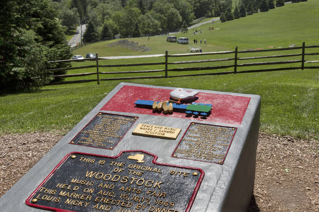
A stream of visitors on a recent sunny day visited the corner of the field with a big metal plaque commemorating the concert. Some made peace signs as they smiled for pictures, others paused quietly to gaze at the grassy expanse.
“There’s just something about this place that — and I’m not the only one — that draws people here,” 67-year-old Woodstock veteran Charles Maloney said as he stood by the plaque. “I mean, this area here could have 200 people. And you can still hear the silence.”


