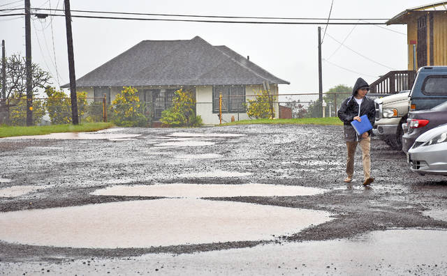
The National Oceanic Atmospheric Administration’s automated rain gauge at Mount Waialeale reported more than 14 inches of rainfall in a 24-hour period on Wednesday. The North Wailua Ditch gauge reported more than three inches in the same period, and Hanalei received about two inches.
The National Oceanic Atmospheric Administration’s automated rain gauge at Mount Waialeale reported more than 14 inches of rainfall in a 24-hour period on Wednesday. The North Wailua Ditch gauge reported more than three inches in the same period, and Hanalei received about two inches.
The Lihue station registered almost three inches during the period, while other locations around the island reported less than an inch.
“It’s just a wet weather pattern, and it’s looks like just another day,” said Kevin Kodama, a meteorologist at the National Weather Service’s Honolulu office. “We should see things start to improve maybe after tomorrow.”
A strong surface high pressure system situated far north of the islands is forecast to slowly move eastward through Thursday.
“On average it’s up to the northeast, but now it’s up to the north,” Kodama said. “But that’s not the driver of our weather.”
An area of low pressure far west-southwest of Kauai will drift slowly northward past the islands through the end of the week.
“We’ve got low pressure off to the west of the state that’s been throwing up a lot of deep tropical moisture,” Kodama added. “Kauai is right on the fringe of enhanced rainfall weather.”
A new surface ridge will build far north of the state on Sunday bringing more sun into the forecast this weekend.


