Maps. They are just plain cool to look at! Big maps? Awesome! Generally, we take them for granted nowadays. Most of us use Google Maps at a moments notice, whether it is for driving directions, planning a trip or for
Maps. They are just plain cool to look at! Big maps? Awesome!
Generally, we take them for granted nowadays. Most of us use Google Maps at a moments notice, whether it is for driving directions, planning a trip or for use in school or for work.
But it wasn’t all that long ago that maps were still a scientific form in-progress, with plenty of errors and exaggeration.
Interesting thing about science—whatever we think we know for certain, 9 out of 10 times we learn later on we were wrong!
Same was true for the art and science of cartography.
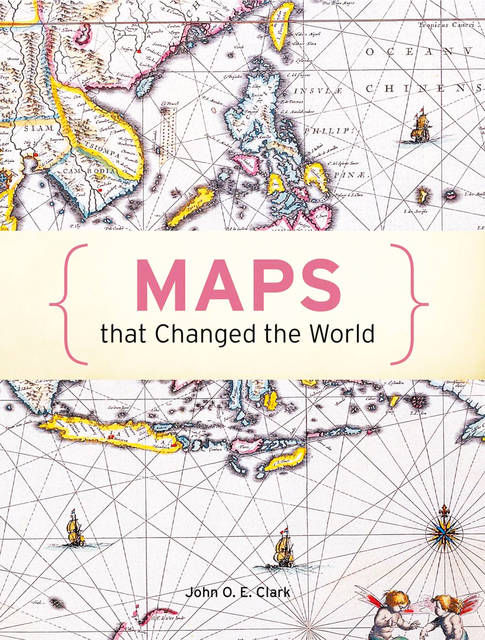
“Maps That Changed the World” by John O. E. Clark is a wonderful and fairly concise exploration of the evolution of maps and how certain new techniques throughout history created a quantum leap in the understanding and implementation of cartography.
Utilizing an abundance of full-color maps from all eras, we are treated to an interesting and entertaining explanation of how each important map came to be and how its creation impacted our societies.
Did you know that it was a French-made map that finally resolved the accurate size of the Americas?
Did you know there are maps which their authenticity is still hotly debated?
Did you know some maps show lands which either no longer exist or never existed at all?
Not only do we learn about world maps, there are regional maps, city maps, astronomical maps, mythological maps, and even fictional maps (like Tolkien’s Middle-Earth).
Most interesting of all to us are the “propaganda maps”; these are maps which take sets of preferred data to provide a distorted or skewed view to further a political or ideological viewpoint? Forget “fake news”— how about “fake maps”!
Guaranteed, you’ll never look at a map the same again!
See you book-lovers soon!
•••
Ed and Cynthia Justus are owners of The Bookstore in Hanapepe.


