Hurricane Ignacio is forecast to pass the Hawaiian Islands to the north. With winds of 105 mph, Ignacio was expected to lose some of its power over the next two days and could be downgraded to a tropical storm with
Hurricane Ignacio is forecast to pass the Hawaiian Islands to the north.
With winds of 105 mph, Ignacio was expected to lose some of its power over the next two days and could be downgraded to a tropical storm with winds of 70 mph by Thursday.
Monday morning, the storm’s center was 335 miles east of Hana and moving northwest at 10 mph.
The Central Pacific Hurricane Center in Honolulu lifted tropical storm watches for the Big Island and Maui on Sunday evening and said the storm should not have much impact on the islands, although some rain and wind was still possible.
“It’s hard to say we’re out of the woods because it could make a dramatic shift to the west. It’s possible, I guess, but not likely,” National Weather Service meteorologist Chevy Chevalier said.
Even as Ignacio moves away from the state, it will continue to impact surf statewide through today, according to the Hawaii Emergency Management Agency.
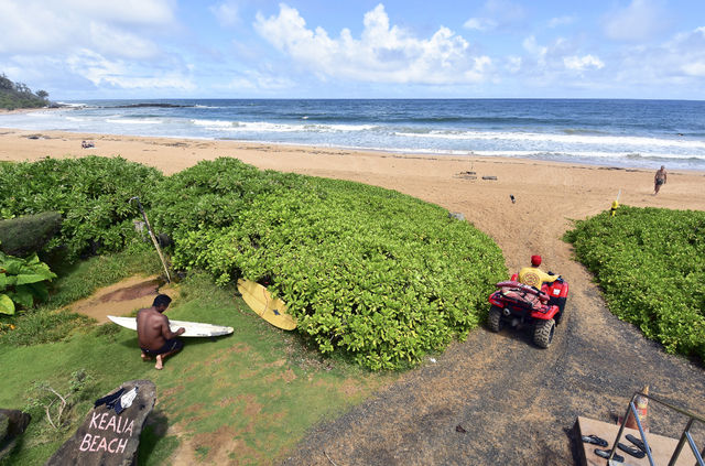
A high surf advisory was posted for Oahu and Kauai whose east-facing shores, including Kealia, may experience wave heights of 10 to 15 feet.
“There was some energy Monday morning,” said Eugene Ancheta, a Kauai Ocean Safety Bureau water safety officer at the Kealia lifeguard tower. “We had some waves with 8-foot faces, but it kind of died. It’s slowly building in the afternoon.”
Gusty wind conditions are expected as Ignacio passes by the state. There may also be heavy rainfall and isolated thunderstorms through Wednesday as a moist air mass lingers over the islands following Ignacio’s departure.
Kauai experienced rain through the night, accompanied by thunder, Monday morning. Mount Waialeale had the highest amount of rain with 3.86 inches within a 24-hour period ending 2 p.m. Monday. The North Wailua Ditch gauges measured 2.78 inches followed by Omao reporting 1.87 inches and Kalaheo coming in with 1.84 inches. Lihue Airport reported .70 inch during the same period.
“We thank our partners for their flexibility and willingness to commit time and resources toward preparing our state for events such as Ignacio,” said Doug Mayne, administrator of Emergency Management. “With Hurricane Jimena in our backyard, coordination and readiness efforts are as important as ever. We will continue to monitor the situation and assess potential impacts as the system moves into the Central Pacific.”
Hurricane Jimena is behind Ignacio and currently a Category 4 hurricane with winds greater than 110 mph. HEMA said forecasts show Jimena slowing as it reaches the Central Pacific, and is expected to weaken to Category 1 hurricane by Saturday.
“Whatever happens, we’re ready,” Ancheta said. “My generator is operational and I’ve stocked up on supplies. I just hope we go through it without needing to use them.”


