LIHU‘E — Civil Defense officials rely on a straight-from-the-top view of the tsunami inundation zone to draw a slightly larger evacuation zone. A revamped two-dimensional look at how a tsunami would flood the Hawaiian islands is about to change it all, and with it, a rise in home insurance rates could be looming in the horizon.
“I’m letting you know, there might be some ruffled feathers,” said Mark Marshall, county Civil Defense Emergency Management Officer, in a reference to potential changes in insurance rates following the release of the new maps, which were prepared by a team of scientists from the University of Hawai‘i at Manoa.
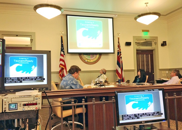
“Dr. Kwok Fai Cheung, of UH Manoa, reports that the tsunami inundation modeling has been completed,” Marshall said at a briefing to the Kaua‘i County Council Thursday.
For now, the revised maps are being kept from the public’s view, according to Marshall. By the end of February, county Civil Defense staff will meet with the UH scientists and do a thorough review of the new maps, he said.
Civil Defense staff has only seen snapshot samples of some of the updated mapping, Marshall said, but from the little they have seen, the current evacuation maps will require considerable modification.
Marshall said he could show those snapshots to the council, but only behind closed doors in executive session, as the maps are not yet allowed to be released publicly.
The data inputs, he said, were based on magnitudes of a set of worse historically documented tsunami affecting Hawai‘i, and by adding the variable of the highest tides.
The scientific and emergency management peer review of the new modeling will happen Feb. 21 at the county Emergency Operations Center in Lihu‘e. After that, the county Civil Defense and a multi-discipline team will use the final inundation model to update the tsunami evacuation areas, which will be consolidated with the island’s flood evacuation areas, Marshall said.
He said that because of the two-dimensional aspect of the new maps, some evacuation areas may grow while others may shrink, depending on the given topography of each area.
A public hearing and outreach process will follow as part of the formal implementation of the updated evacuation maps, according to Marshall.
IPAWS
Meanwhile, the county is in the process of joining the federal Integrated Public Alert and Warning Systems. According to the Federal Emergency Management Agency website, the state of Hawai‘i Civil Defense has already completed the necessary authentication steps to use IPAWS.
During an emergency, alert and warning officials need to provide the public with life-saving information quickly. IPAWS is a modernization and integration of the nation’s alert and warning infrastructure that will save time when time matters, protecting life and property, according to FEMA’s official website.
Federal, state, territorial, tribal and local alerting authorities may choose to use IPAWS and may also integrate local systems that use Common Alerting Protocol standards with the IPAWS infrastructure, according to FEMA.
IPAWS gives public safety officials an effective way to alert the public about emergencies using the Emergency Alert System, the Commercial Mobile Alert System, NOAA Weather Radio and other public alerting systems from a single interface, FEMA states.


